Workshop: Your Neighborhood in 3D – Blender & PDOK, August 7, the Netherlands

Learn how to generate detailed representations of your neighborhood based on freely available GIS data in Blender. Thomas Kole gives a workshop in Amersfoort, the Netherlands (my town, yay!) on August 7.
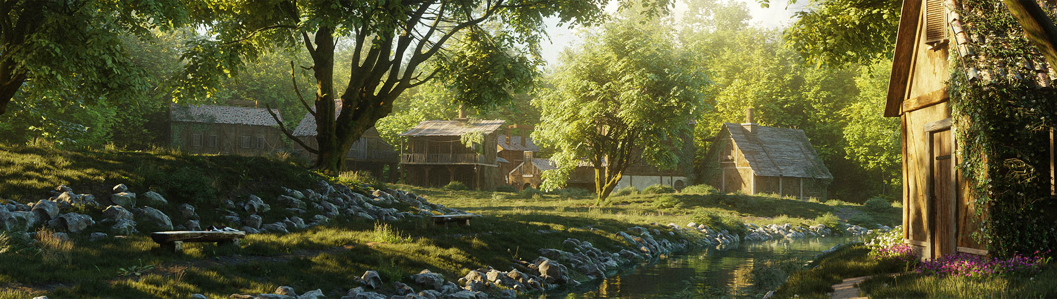
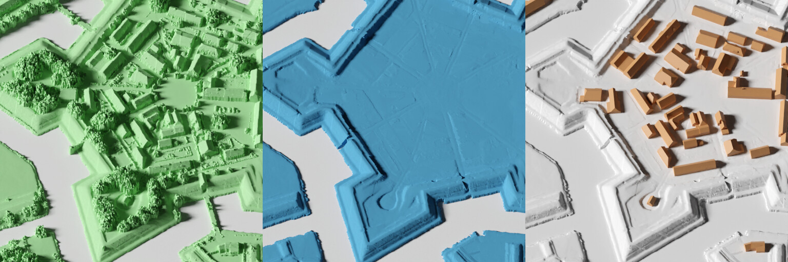
What’s a good place for solar panels? What area receives the least shade in the summer? What would this new building look like from my house, what if this parking lot was a park instead? Visualizing neighborhood-scale information is available to anyone with a computer, using the powerful and open combination of Blender and PDOK, the Dutch Geodata platform.
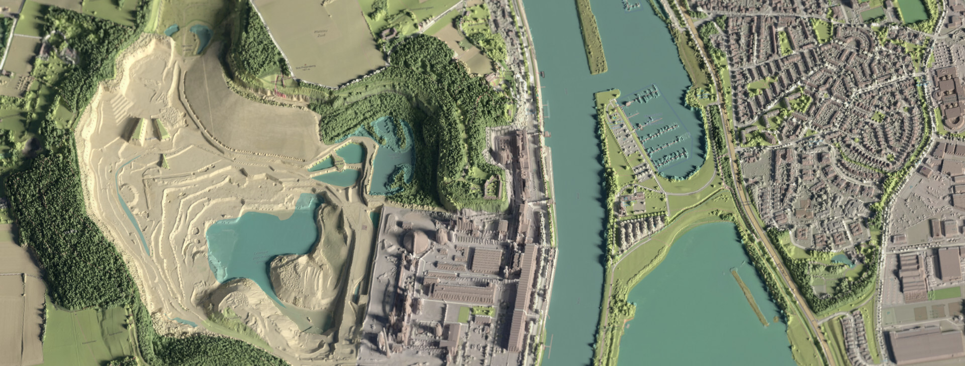
In this workshop, we’ll use Blender, plus the GIS and Hoogtedata add-ons to import a section of the Netherlands, which we will analyze, modify, and visualize.
In order to participate, bring a laptop with the latest version of Blender.
You can learn more about Thomas’ Hoogtedata (‘Height Data’) add-on on here.
Event information
Maandag 7 augustus 19:30
De WAR
Heiligenbergergweg 34
Amersfoort, the Netherlands
See the conference lineup here (note: this is still very much a work in progress).
The Koppelting conference is ‘Pay what you can’. For more information about the event, see their website.
I use PDOK data all the time for my Blender projects (Aerial photo, BAG, BGT..) and would really like to attend, but 7th of august is in my holiday and a no-go unfortunately.
I hope there’s a recap of this event to be seen online at a later point. Sounds awesome!