Carbomap created this simple but effective video that demonstrates their aerial mapping systems.
Antoine Cottin writes:
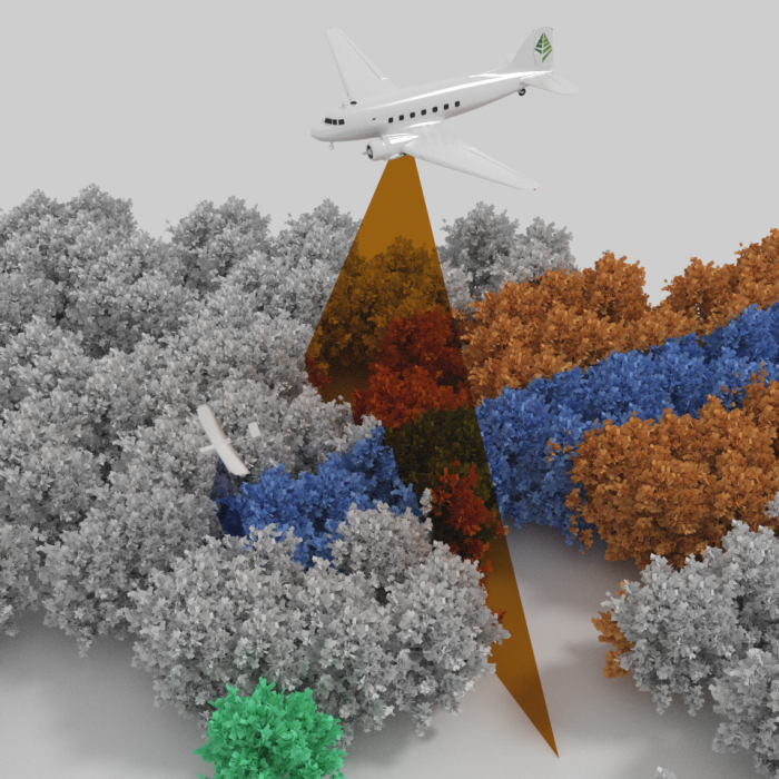
At Carbomap we are interested in Forest mapping using remote sensing technology. We made a short video presenting our activity, as well as free graphics that peoples can use as teaching material.
Everything was made in Blender.
Enjoy.
Antoine
2 Comments
I assume this process produces some data with 3D properties. Is there a place I can view a forest map produced by this kind of process?
google lidar data + forest(ry) (or anything)
Cheers.
Antoine